
Past Projects

The Water team has successfully completed several impactful projects in the past. Notable projects involve the development of a HABs sensor inspired by the Smart Rock sensor while another significant project focused on utilizing remote sensing techniques and satellite data to detect and monitor harmful algal blooms (HABs) in lakes. Feel free to take a deep dive into these projects and enjoy the empowerment of Water Solutions through Geospatial Insight
Harmful Algal Bloom Sensor
The CU GeoData Water team dedicated time and effort to developing a sensor based on the Smart Rock sensor, capable of measuring water depth, temperature, turbidity, and salinity. Once assembled and submerged in water, the sensor would be tested at strategic locations along Cayuga Lake, focusing on areas susceptible to harmful algal blooms (HABs). In the future, the sensor aims to include measurements of nitrogen, phosphorus, and dissolved oxygen levels, known contributors to HABs.
The sensor project was unexpectedly paused due to unforeseen difficulties. But the team will continue to monitor water quality data through trend analysis and utilize software tools such as Google Earth and R for improved visual identification of HABs across the lake.
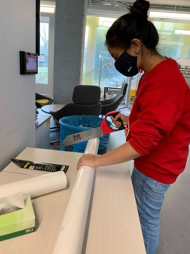
Faima Quadir sawing PVC for water sensor enclosure
Remote Sensing

The Remote Sensing Harmful Algal Bloom (HAB) project focuses on leveraging satellite data, specifically utilizing the "waterquality" package in R, to generate images of HABs present in Cayuga Lake. By analyzing accessible satellite data, particularly from the Sentinel 2 satellite, the project aims to gather information on the color, size, and extent of the HABs. Currently, the project is actively engaged in the creation of these images and determining the pigment color associated with the HABs, enhancing our understanding and monitoring of algal blooms in Cayuga Lake.